Theory and starting point
Informations about where the project starts and some thoery concepts of the GPS system.
See more
Presentation website of the project developed for the Didactic Laboratory course, held by professor Riccardo Bernardini, as part of the Master degree in Electronic Engineering at University of Udine.
The objective of the project is to develop a portion of a bigger idea, which is a system for the detection and the report of the mines present in a certain area. The implementation of the idea consists in a drone that through a particualr radar scans the ground and reports the results to a remote server, which will display a map of the area colored by the probability of the presence of a mine.

Our project consists on the development of a system that handles the presentation, the transmission and localization of the data collected with this radar.

Informations about where the project starts and some thoery concepts of the GPS system.
See more
Description of the hardware components, the firmware of Arduino and the software used to show the map figure.
See more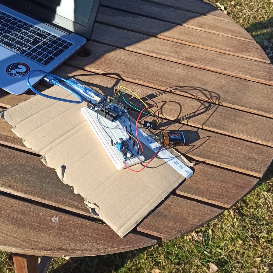
Photo and videos of the simulation of the project: test of the functionalities, flight of the drone, transmission e reception of data, live plotting of the map
See more
Photos and videos of the phase of costruction and simulation of the project
See more
Polytechnic department of engineering and architecture
Università degli Studi di Udine